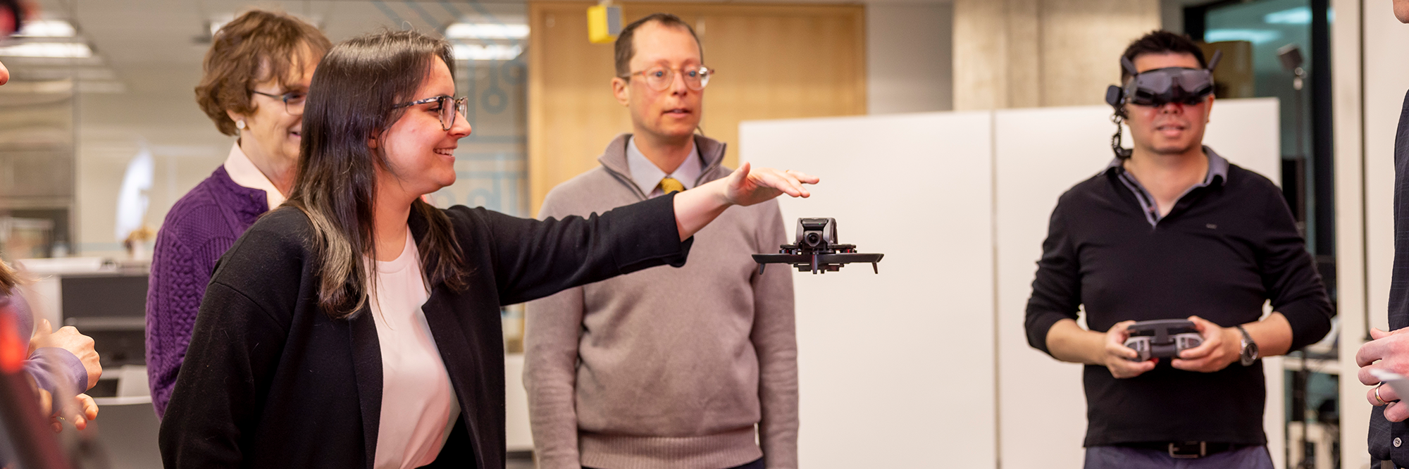
The Drone Learning Program (DLP) is an initiative that was developed by the Toronto Metropolitan University (TMU) Libraries, headed by Dan Jakubek (GIS and Map Librarian – Geospatial Map and Data Centre) and Jimmy Tran (Research Technology Officer – Library Collaboratory). The colloquial term “drone” refers to a Remotely Piloted Aircraft System (RPAS), a term defined by Transport Canada. The goal of the program is to guide the TMU research community with the use of drone technology for their research.
The scope of programming includes the following:
Knowledge Sharing: Through guest lectures and workshops, the DLP disseminates knowledge about the laws and regulations related to flying drones in Canada.
Consultation: Individual or group consultation is available to assess appropriate technologies to support each individual’s research work. This includes data collection methodologies using a wide variety of equipment such as LiDAR systems, high-resolution cameras, and multispectral and thermal imaging sensors. Additionally we advise on analytical methodologies related to photogrammetry, data processing and integration with Geographic Information Systems (GIS). We also provide hands-on training to support safe drone operation and consult on RPAS licensing.
Data Collection: The DPL team are certified advanced operation RPAS pilots and have developed expert knowledge in various domains supporting the effective use of drone technology for data collection and processing. The TMU Libraries have acquired a suite of equipment that includes various types of drones, sensors, and GPS systems. The task of data collection also involves mission planning, acquisition of permits and required permission to operate drones in the requested locations, and travel to mission locations to conduct flights and collect data.
Software and Processing: To support data processing including 2D and 3D photogrammetry, the DLP provides access to ArcGIS Drone2Map software. Researchers can request the desktop application for installation on personal computers. Alternatively, researchers can access the software at the Library Collaboratory using our High Computational Power machine or the Geospatial Map and Data Centre (GMDC) labs.
The TMU Libraries have invested significant resources in the acquisition of drones and related technologies. To ensure that the DLP has the resources to continue our support for the research community at TMU, there is a cost recovery model. The funding is for the maintenance of existing equipment, acquisition and replacement of new equipment, and cost recovery related to personnel time.